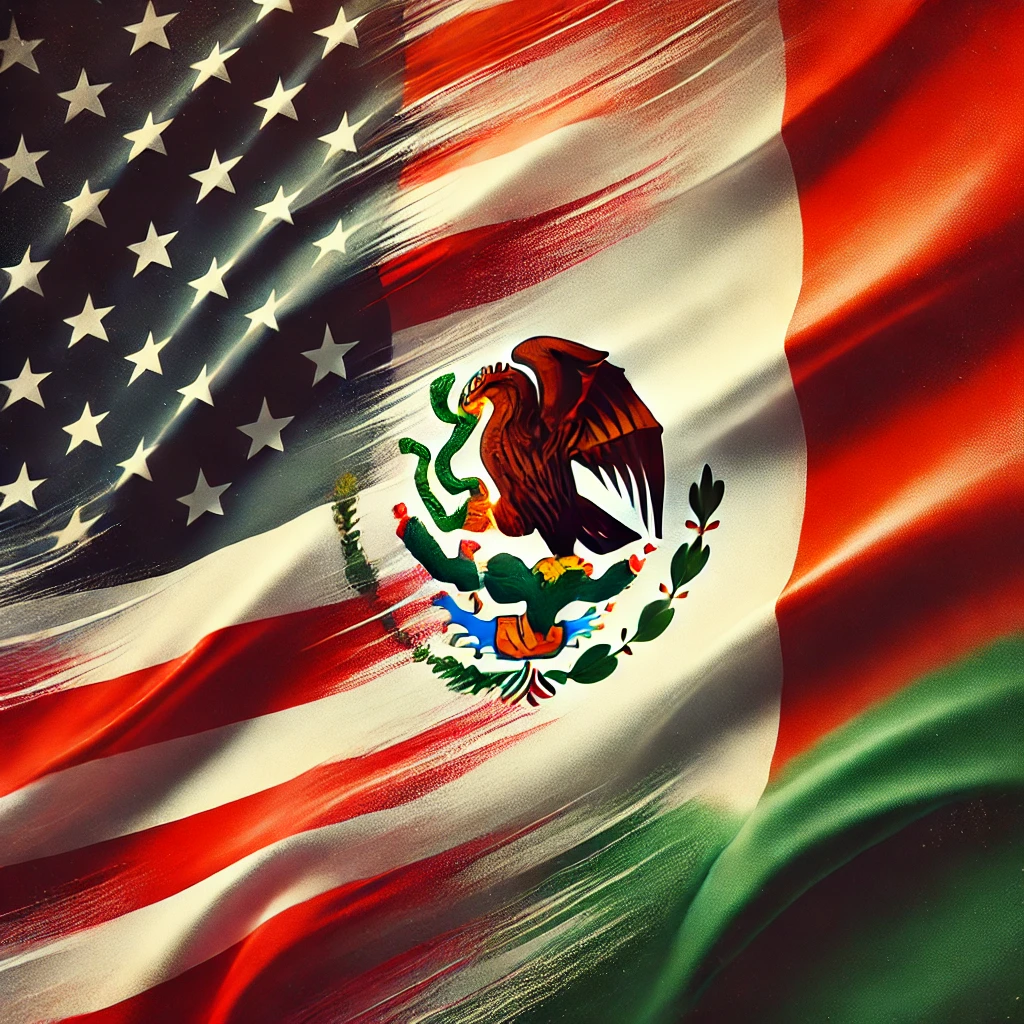
the U.S.-Mexico border, stretching across 1,954 miles, is a product of geopolitical maneuvering, war, diplomacy, and practicality. This boundary includes both natural features, such as the Rio Grande, and long, straight-line segments that cut across deserts and plains. Understanding how and why these borders were drawn offers a glimpse into 19th-century politics and cartography.
Key Events Shaping the U.S.-Mexico Border
- Adams-Onís Treaty (1819)
The U.S. and Spain agreed on a boundary that followed the Sabine River in Texas and extended west to the Pacific. Spain ceded Florida to the U.S., while the U.S. recognized Spanish claims to Texas. - Mexican Independence (1821)
After gaining independence from Spain, Mexico inherited large northern territories, including present-day California, Arizona, New Mexico, and Texas. - Texas Revolution and Annexation (1836-1845)
Texas declared independence from Mexico in 1836 and was annexed by the U.S. in 1845. This heightened tensions, as Mexico did not recognize Texas’ independence, setting the stage for conflict. - Mexican-American War (1846-1848)
The war broke out over territorial disputes, including the U.S. claim that the Rio Grande was Texas’ southern border, while Mexico insisted it was the Nueces River. - Treaty of Guadalupe Hidalgo (1848)
This treaty ended the war, with Mexico ceding a vast expanse of land to the U.S., including California, Nevada, Utah, and parts of several other states. The Rio Grande was officially established as Texas’ southern border, and the U.S. paid Mexico $15 million. - Gadsden Purchase (1854)
The U.S. acquired additional land from Mexico (29,670 square miles) for $10 million to secure a route for a southern transcontinental railroad. This purchase finalized the current southern border of Arizona and southwestern New Mexico.
Why Are There Straight-Line Borders?
- Geographic and Surveying Simplicity
Straight lines were used to simplify surveying in areas without prominent natural features. They were easier to mark and less prone to dispute. - Colonial Mapping Conventions
European colonial powers, and later the U.S., often used latitude and longitude lines to define borders. This practice influenced how the U.S.-Mexico border was drawn. - Political Expediency
Straight lines avoided lengthy negotiations over natural landmarks, providing a clear and efficient solution for sparsely populated areas.
Key Straight-Line Sections of the U.S.-Mexico Border
- Arizona-New Mexico-Sonora Border
A straight-line boundary along the 31st parallel north runs through Arizona and New Mexico, forming the border with Sonora, Mexico. This was established under the Gadsden Purchase. - California-Mexico Border
The border extends west as a straight line to the Pacific, following 32°32′ north latitude. This boundary, determined after the Treaty of Guadalupe Hidalgo, marks the border just south of San Diego. - New Mexico-Mexico Border
The border from the Rio Grande to Arizona follows 31°20′ latitude, as outlined in the Treaty of Guadalupe Hidalgo and slightly adjusted by the Gadsden Purchase.
The Impact of Straight-Line Borders
- Disruption of Indigenous Communities
These borders ignored Indigenous territories, disrupting migration routes, trade, and social structures. - Environmental Challenges
Straight-line borders cut through ecologically sensitive areas, such as the Sonoran Desert, creating barriers for wildlife. Border infrastructure has exacerbated these challenges.
The Role of the International Boundary and Water Commission
The International Boundary and Water Commission (IBWC) was established in 1889 to manage the border between the U.S. and Mexico. It helps resolve disputes over the Rio Grande’s shifting course, as well as managing water-sharing agreements and border infrastructure development. The IBWC plays a crucial role in maintaining peaceful relations and managing environmental impacts along the border.
Legacy of the U.S.-Mexico Border
The U.S.-Mexico border reflects the legacies of war, diplomacy, and expansionist policies of the 19th century. Its straight-line segments, drawn for expediency, now pose challenges for Indigenous communities and ecosystems. Today, the border remains a focal point of geopolitical issues, from migration to trade and environmental conservation.
The U.S.-Mexico border is more than just a geopolitical line; it embodies the history, culture, and tensions between two nations. Its evolution—from the Rio Grande’s twists and turns to the straight lines across desert landscapes—shows how convenience, diplomacy, and conflict shaped a boundary that continues to impact millions.


